Noah Meier · 19 October 2026
Lowvale's Transit Proposals Ignite Fresh Discussions on Connecting Remote Neighborhoods
Lowvale officials unveiled a series of transit expansion plans in October 2026 that focus on linking isolated residential areas to the city's core transit grid, and these ideas have drawn immediate attention from neighborhood associations, business groups, and regional planners. The proposals center on new bus rapid transit lines, extended light rail segments, and demand-responsive shuttle services designed to reach communities that currently rely on limited or indirect connections. Data from the Lowvale Metropolitan Planning Organization shows that residents in outlying districts travel an average of 45 minutes longer per round trip than those in central zones, and the new routes aim to reduce that gap through dedicated lanes, synchronized signals, adn integrated fare systems.
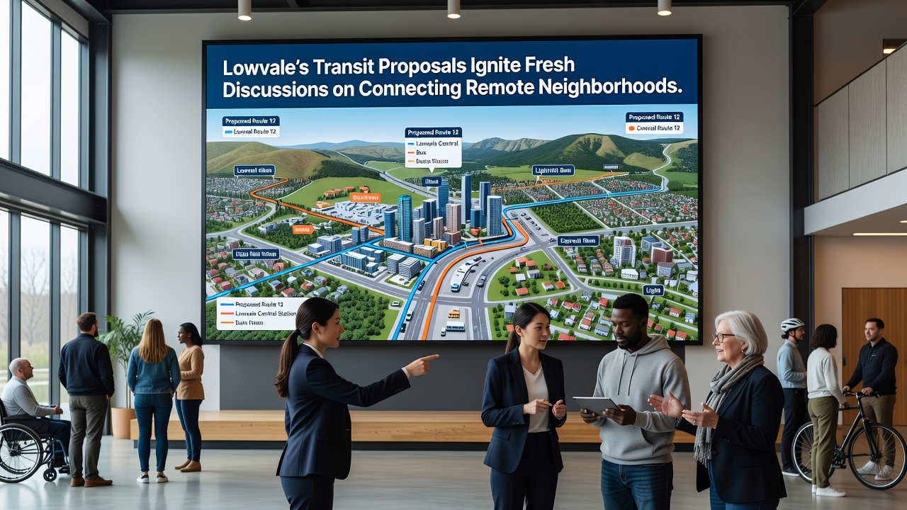
Current service patterns leave several hillside and valley-edge neighborhoods with infrequent stops and long walks to the nearest hub, while downtown corridors enjoy multiple overlapping options. The October 2026 documents outline three priority corridors that would add roughly 12 miles of improved infrastructure, with construction phased over five years if funding approvals move forward. One route would run along the eastern ridge, another would follow the western river valley, and a third would create a loop connecting industrial parks to residential pockets that sit beyond existing rail stops.
Background on Existing Network Limitations
Lowvale's transit system has grown incrementally since the 1990s, yet expansion has concentrated along high-density corridors where ridership numbers justify investment. Figures from the city's Department of Transportation indicate that remote neighborhoods account for only 18 percent of total boardings despite housing 27 percent of the population. This imbalance stems from route designs that prioritize volume over coverage, leaving gaps that force residents to transfer multiple times or drive to park-and-ride lots.
Studies compiled by regional analysts highlight how these access shortfalls affect employment access, with data showing lower job retention rates among workers living more than three miles from a frequent service stop. The October 2026 proposals directly address that pattern by introducing express segments and timed transfers that could cut average commute times by up to 22 minutes according to preliminary modeling.
Key Elements of the October 2026 Proposals
Planners have broken the initiative into distinct service tiers. The first tier introduces bus rapid transit on two arterial roads with dedicated lanes, queue-jump signals, and off-board payment. The second tier extends an existing light rail spur by 3.8 miles to serve a cluster of newer subdivisions built after 2015. The third tier deploys microtransit vehicles that operate on flexible schedules within defined zones, booking via app or phone to connect riders to fixed-route stops.
Each tier includes infrastructure upgrades such as new shelters, real-time information displays, and bike storage at major nodes. Cost estimates range from $148 million to $172 million depending on the final alignment choices, with potential contributions from state and federal grants as well as local bond measures. Public workshops scheduled through the remainder of 2026 will gather input on exact stop locations and service frequencies.
Stakeholder Reactions and Ongoing Analysis
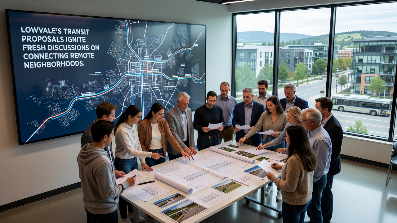
Neighborhood representatives from the affected areas have formed a coalition that meets weekly to review maps and ridership projections. Their feedback emphasizes the need for evening and weekend coverage, since many remote residents work shifts that fall outside peak hours. Business owners along proposed alignments point to increased foot traffic as a potential outcome, while some property owners have raised questions about right-of-way acquisitions.
Independent researchers at the nearby state university have begun modeling scenarios that incorporate projected population growth through 2035. Their initial runs suggest that adding the proposed services could increase overall system ridership by 14 to 19 percent, with the largest gains concentrated in the newly connected districts. Those models also factor in connections to regional rail services operated by neighboring counties, allowing seamless transfers without additional fares during a two-year pilot period.
Funding Pathways and Implementation Timeline
City staff have identified several funding streams that could support the effort. Federal formula funds administered through the Federal Transit Administration cover up to 50 percent of capital costs for qualifying projects, while state discretionary grants target equity-focused expansions. Local sources include a proposed half-cent sales tax increase that would appear on the 2027 ballot and developer impact fees tied to new housing approvals.
The timeline calls for environmental reviews to conclude by mid-2027, with preliminary engineering starting immediately afterward. Service launches would occur in stages, beginning with the microtransit zones in late 2028 and progressing to full bus rapid transit operations by 2031. Adjustments based on early performance data remain built into each phase.
Conclusion
Lowvale's transit proposals represent a shift toward broader geographic coverage rather than further intensification of existing high-use corridors. The October 2026 discussions continue to evolve as additional data emerges and community input shapes final designs. Observers note that successful implementation hinges on coordinated funding decisions and sustained public engagement across multiple neighborhoods. Updated route maps and meeting schedules remain available through the city's transportation portal for those tracking developments.